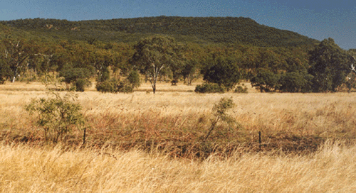
Vegetation mapping may be required to meet a number of circumstances. Traditionally, vegetation patterns have been used an aid in mapping soil distribution. Native vegetation is often a reliable indicator of soil fertility, soil depth, soil drainage and overall productive capacity of land. Remant vegetation mapping is an essential component in conservation planning of wildlife habitats and corridors and in planning development that optimises environmental and aesthetic values.
Most Australian states now have a legislative requirement to conserve remnant vegetation that is at risk of being unsustainable.
In Queensland permits for land clearing are now required for both freehold and leasehold land. Whether permits are issued depends on an assessment of conservation status of the Regional Ecosystems of the subject land and whether there are specific land degradation or other ecological circumstances that might apply.
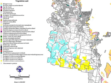
For many parts of Queensland, the existing vegetation mapping is at a coarse scale and may be out of date. Up to date site specific assessment of vegetation status is generally required for environmental impact assessment.